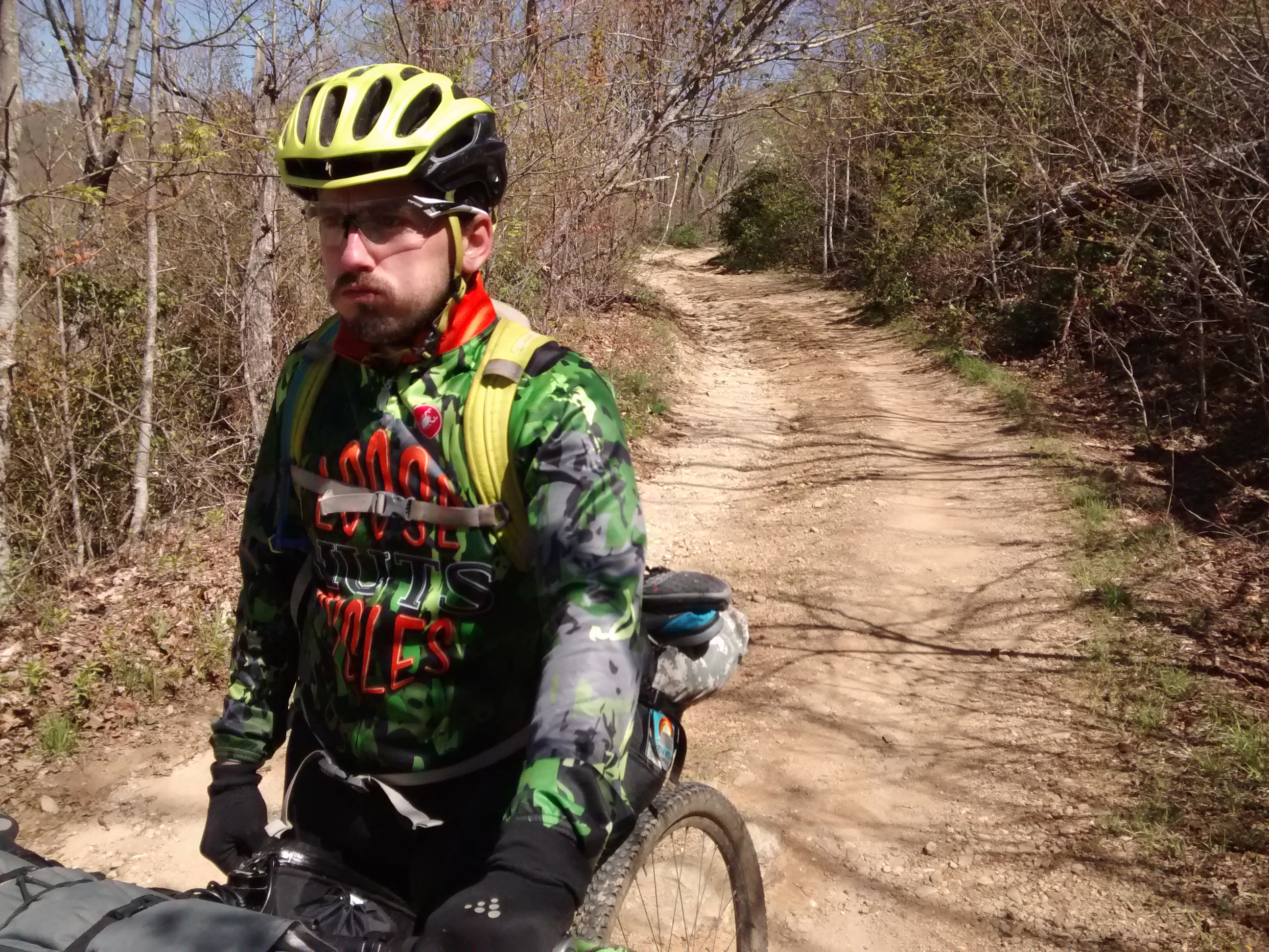
Waking up this morning was the driest I’ve been at a campsite in a long time. A quick cup of coffee, a tube of jerky and a refill of the water bottles in the creek and we were on our way up to Tray Gap.
Within ten minutes of starting the day, I had already convinced myself three times over that not riding this stretch the previous night was the right call.
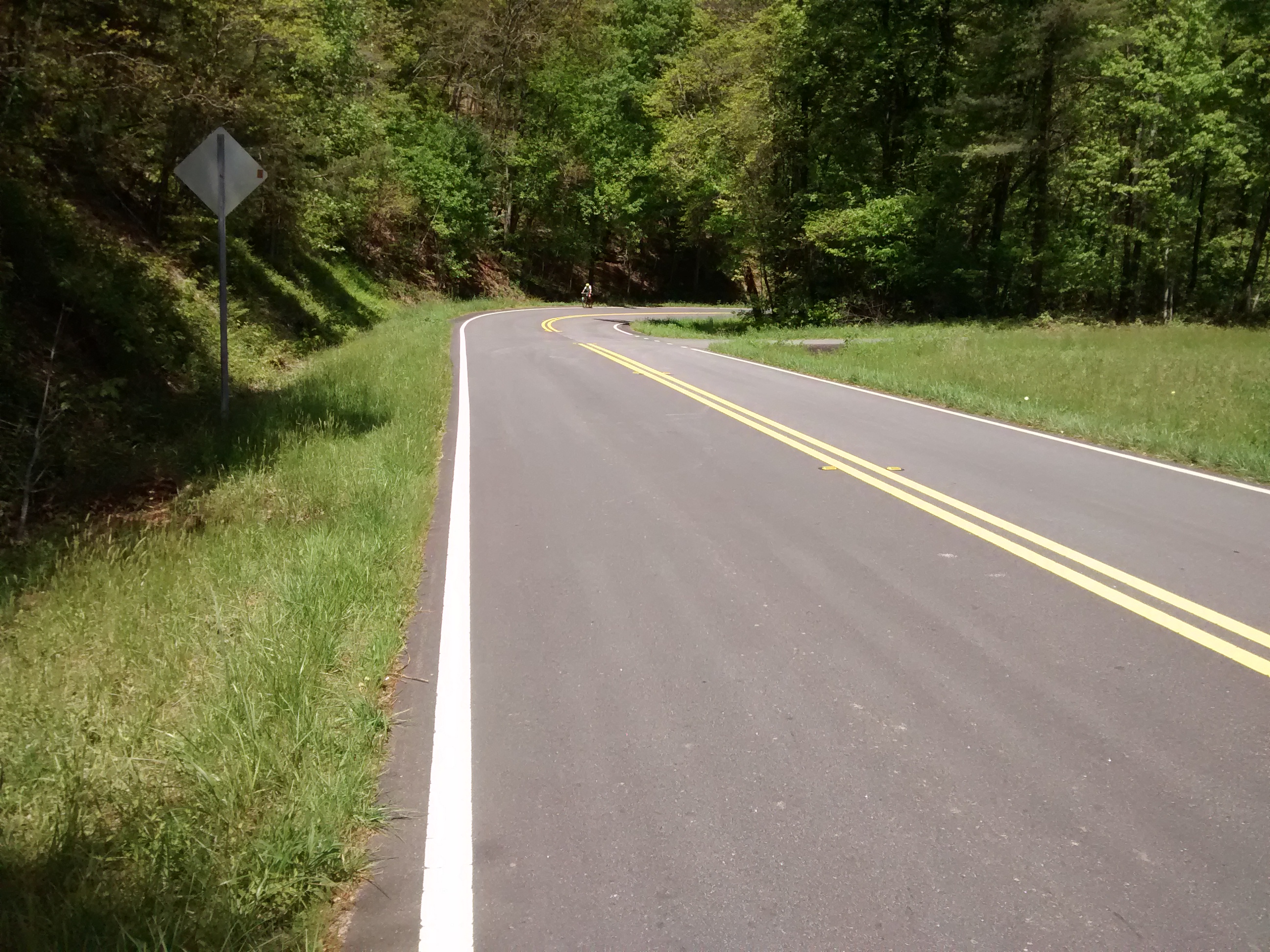
 It ended up taking us another 3 and a half hours to make it to the place where I’d planned on camping while doing our ride planning. There was a brief mile or so of pavement at the bottom of the run between Addis Gap and the start of the climb up to Tray Gap which afforded a spectacular view of Brasstown Bald off in the distance and a rare moment to let the legs catch a break.
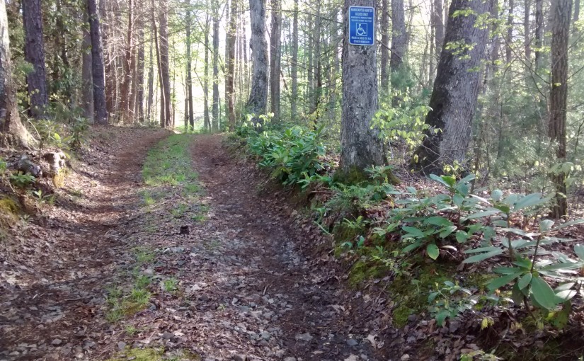
I want to take a moment here to mention that although the roads in these forests are poorly marked, I did notice several specific allowances for handicapped accessibility. #priorities
The climb up to Tray Gap was long and grueling. Ten miles and nearly 2000 ft up, we finally reached the top, but not without paying for it. I fared rather well in that I’d only suffered a hole in my main large water bottle. I’d lost all but a cup of water by the time I caught it. Kinzer was starting to fall off our pace complaining of a serious pain in his right knee. The misconception that kept us going at this point was that the hard part was over (for the moment) and that we’d now have about 12 miles of descending down into Helen where we’d stock up and have some lunch.
I’ll now excerpt from the cue sheet for this ride:
Go around dirt pile and proceed south, descending the Hickory Nut Trail. USE CAUTION. This trail very rough with large rocks hiding behind humps and obscured by deep leaves in the fall/winter and ferns in the spring/summer.
Turn right to stay on the Hickory Nut Trail. Continue to use caution. This part of the trail is cleaner but is still pretty rough.
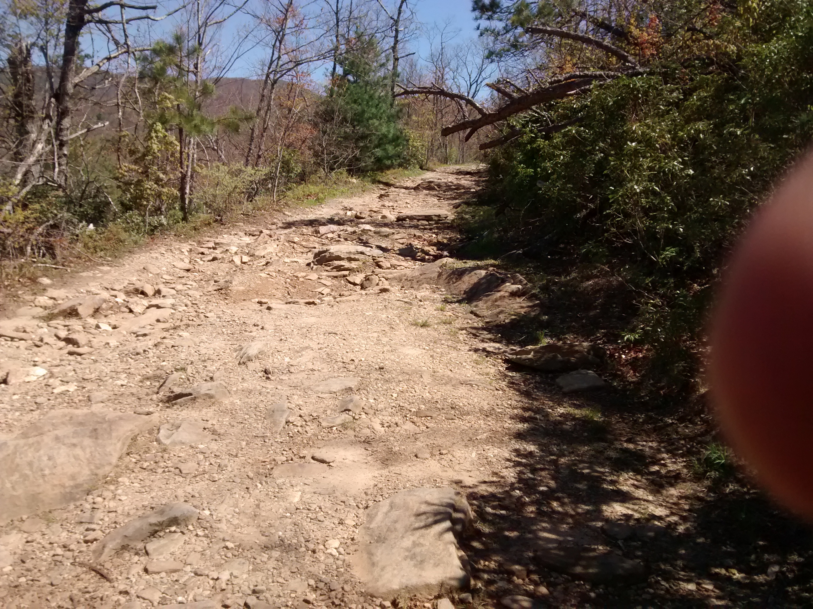
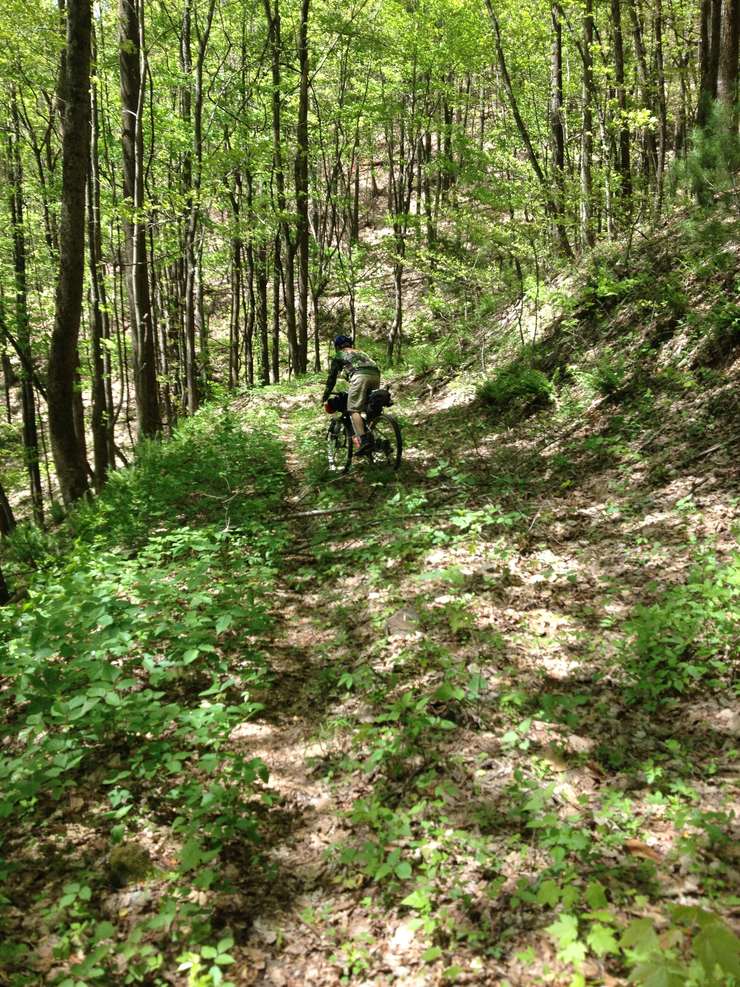
The ‘dirt pile’ is at a five-way intersection that’s several miles from the Gap down a road with huge boulders and ruts (which go unmentioned in the cue) and appears to be nothing more than the standard push-off/turn-around spot that the tractors make when building/maintaining these roads. Needless to say, we missed it. We turned right up yet another mind-numbingly steep jeep rock-climber road, went a few hundred yards to the top where the GPS told me we should be making a sharp left and coincidentally, the road vanished completely.
After some walking back and forth to double check the GPS fix, we decided to drop back down to the intersection and investigate further.
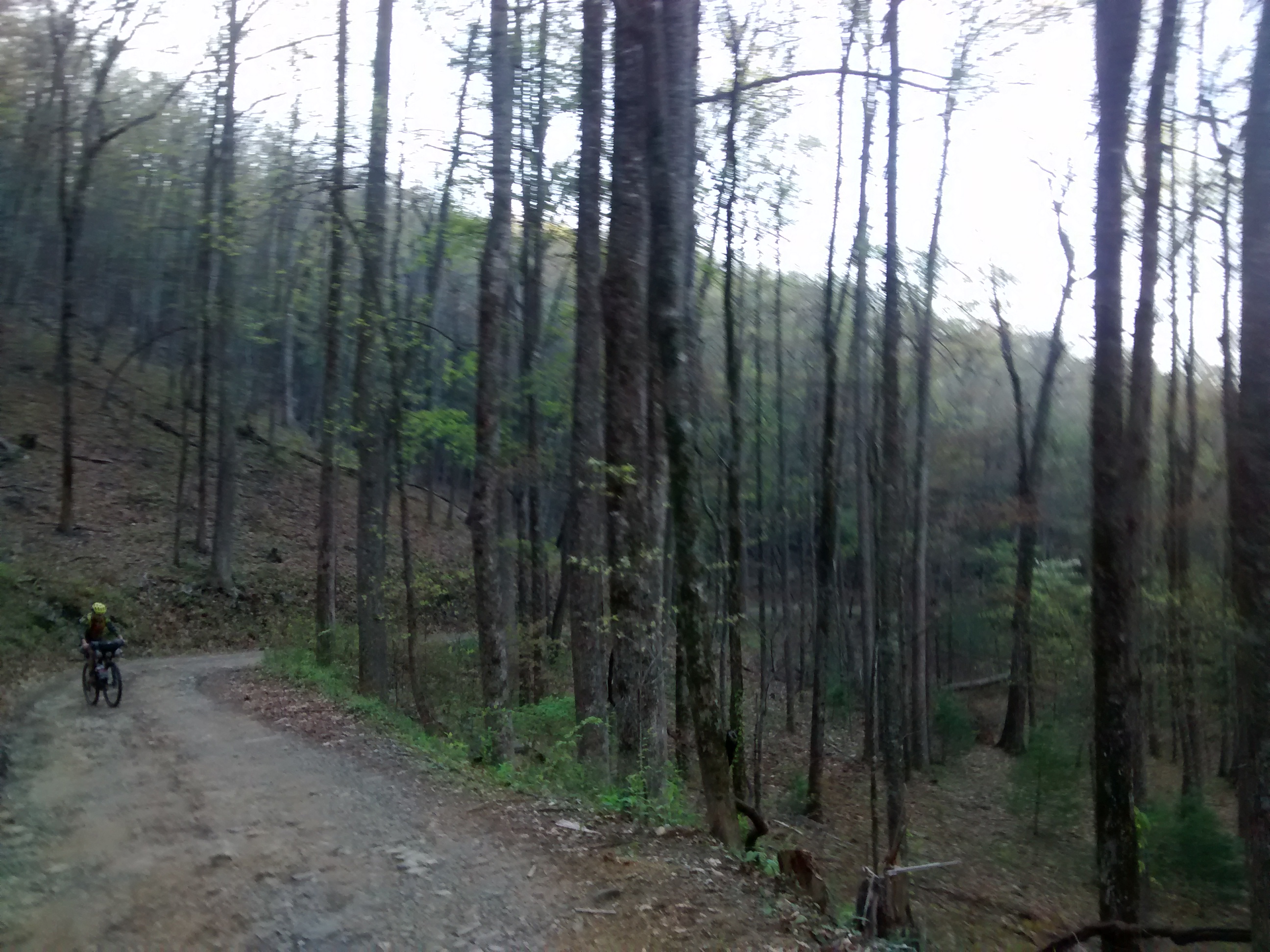
Going over the dirt pile gets you onto some ‘singletrack’ that gave me one recurrent thought the whole way down: “well, when Kinzer gets to Snake Creek, he’s going to wonder what all the fuss was about”. I can honestly say that the Hickory Nut Trail descent from Tray Gap is the most grueling descent I’ve ever done. We barely used our brakes at all because the boulders and branches stole [or redirected] so much momentum from us that there was no need.
The best part about the descent was about half a mile from the end, it does, as the sheet describes, clean out a little bit, and after the first part of the trail I was so happy to be able to get any speed that I started playing on some of the water breaks that cross the trail. Pulling up more on each one until eventually I was able to pull my bike and all of my gear clean into the air! It’s hard to describe the level of ecstatic-terror that jumping a loaded touring bike affords.
We finally got to pavement and rolled passed Unicoi State Park down to a little joint outside Helen.
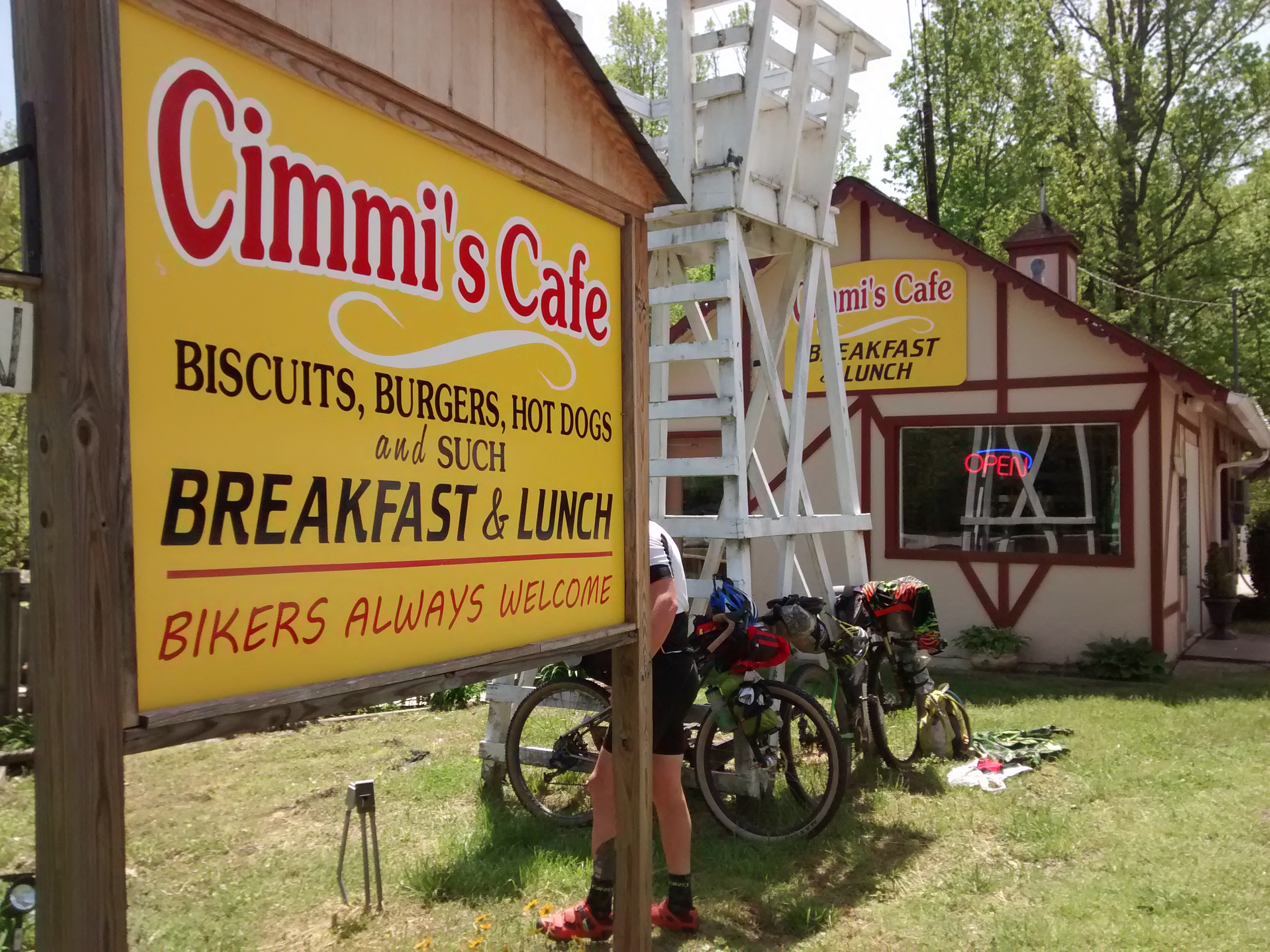 The owner was the first person I’d talked to who knew exactly what we were doing before we told her. “You boys headed to Alabama then? I suspect you’ll want a whole lot of eggs, that’s what they usually get, eggs. Don’t mind the menu, just tell me what you want and I’ll make it happen.”
I had a hot dog and a burger with a fried egg on top and a coke, Kinzer had a Chicken Club, which was basically a large fried chicken sandwich with a BLT on top. We hung out for a few, rehydrated and dried out some gear in the sun and then headed into what I knew would be the easiest [and most painfully boring] part of the whole course: the road gaps.
 First up was Hogpen Gap, a seven mile slog that I think is one of the least remarkable climbs in north Georgia. This climb took nearly two hours on our bikes. I knew Kinzer was hurting so I wasn’t pushing the pace at all, but even soft pedaling up this in a 28x40T gear I still put ten minutes into him. We took a break before the summit to discuss how things were going and decided to keep rolling, but abandon hopes of making it to the finish by Wednesday evening.
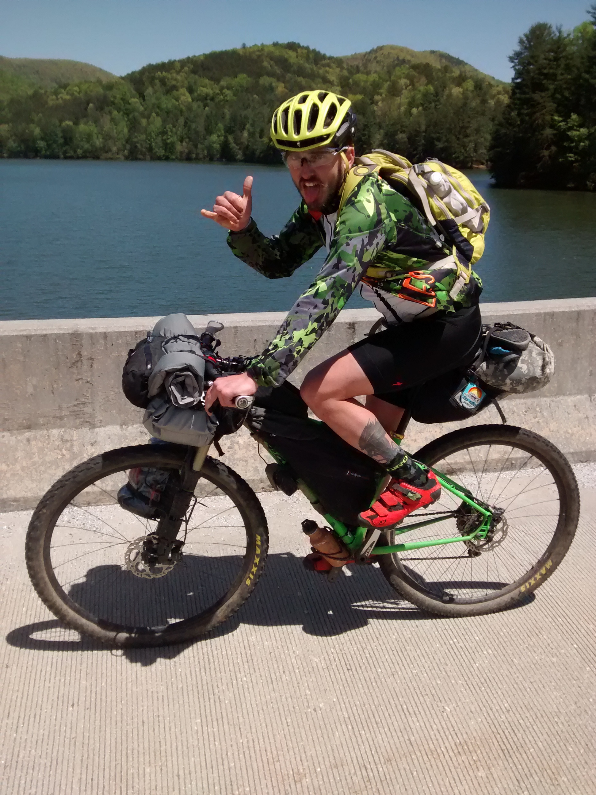
The backside of Hogpen is that typical screamer I mentioned in the previous post. I hit 47mph on the descent… on a mountain bike… with 2.4″ tires filled to maybe 20psi… and a bunch of gear hanging from my bike. Goodtimes.
At the bottom of the descent the route takes a left onto Hatchet Creek Road to shortcut over to highway 129. Hatchet Creek [unpaved] drops down to two 30ish ft wide creekbed crossings before intersecting with Helton Creek rd and climbing not-too-delicately back up to the highway.
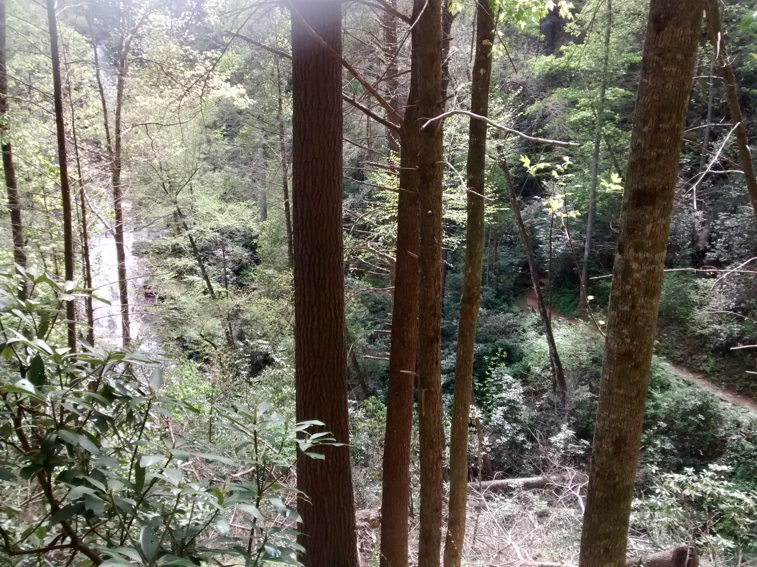
The payoff on Helton Creek rd is Helton Creek Falls, which was the second most magnificent waterfall we’d seen on the ride so far.
The climb up to the highway ended with a little 500 ft [paved] kicker that really strained your ability to remain seated.
At this point I wanted to present a choice to Kinzer who was clearly so far down in his paincave that Chilean miners would have taken pity on him: We can turn left and detour up to Neel’s Gap where there is a hiking hostel/store either rest up and/or call for evac, or press on… to the next ridiculous climb which will take us further into the wilderness and away from civilization until probably lunchtime the next day.
In hind-sight, I should have waited five minutes for that little kicker we’d just finished to fade from the mind, because I suspect the notion of going up one more foot was just too much to stomach, so rather than climbing 500 ft to rest, we descended a mile or so to climb another 2000 feet in 3 miles of road.
Wolfpen Gap is a ‘short’ climb that starts at Vogel State Park and ascends up a windy road to the Duncan Ridge hiking trail. Where I made ten minutes on Kinzer over the 7 miles of Hogpen, I likewise made 8-10 minutes on the three miles of Wolfpen. I was fairly certain that we would not be going any further, that is until he made it up to the gap and I saw his knee. Now I was 100% certain.
Swollen and purple. Like he’d stopped halfway up to let someone beat on it with a bat, and the phrasing he used was “…feels like sandpaper under my kneecap”. While his mind still schemed on how far he might be able to make it up the next stretch of [unpaved loose gravel] road, I set to the task of convincing him that bailing right now while he could still walk was better than bailing 10 miles into the woods when he’d lost the ability to even stand on the leg.
As luck would have it, Ed, came walking down Duncan Ridge during this negotiation.
Ed, we would learn, had dabbled in bike touring. He’d planned a great trip down to Florida from Atlanta for his whole family, who’d one-by-one backed out on him until he was the only one left willing to do the trip, which he did, alone, and apparently had a blast. He was also one of the residents of one of the houses the state eminently-domained away, which would eventually be occupied by the Carter Center.
Ed helped us decide to bail by confirming that there was a gas station at the other end of this road, some ‘four miles or so down’ (9… but who’s counting). He also added that in addition to being a gas/corner store, the owners had recently converted the upstairs offices into a hiker’s hostel. And to close out the providence of Ed, he was driving a van with enough room for a loaded mountain bike and one crippled rider.
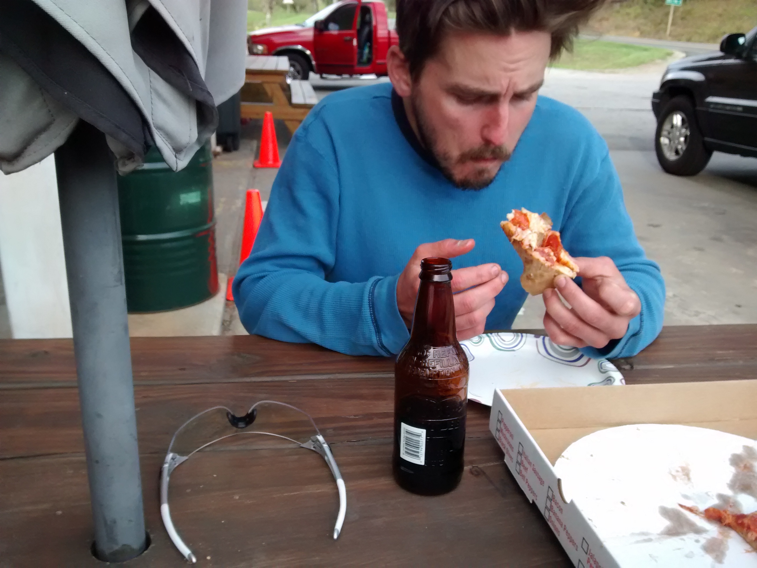
I sent Kinzer packing with him and headed down the road on my bike. By the time I got to the store Kinzer was already deep into extraction planning and had ordered us a pizza.
[Afterward]
In two days we’d covered almost 115 miles of dirt (130 total) and had effectively climbed from the ocean to the top of Kilimanjaro. We’d crossed 28 streams, and one river, won 6 dog sprints, and only suffered one injury.
As for my form, I felt good (considering). I also have hopes that the route front-loads a lot of the nastiness. And even if it doesn’t, I know what to expect, not just from having ridden the eastern portion, but also because I’ve ridden a good bit of the areas on the remainder of the route. I continue to tweak my gear selection and add to my pre-ride checklist though. I’ll pick up a pair of windbreaker/camp pants for the future and instead of a windbreaker jacket I’ll probably opt for a vest and arm warmers.
We plan to finish the route from where we bailed as soon as Kinzer is healed, so look for more to come on this route.
The day’s ride: